
Eastpointe ZIP Code Coverage
Eastpointe's core postal identity is 48021, but nearby ZIP areas matter whenever a map result, directory heading, or mailing line seems to point across the city boundary. The ZIP code directory is a geography check, not a list of people. The table keeps the primary Eastpointe postal area separate from nearby postal areas that can appear in a search around the city. USPS is the authority for the delivery address; municipal and parcel sources answer a different question, which is where the property sits.
| ZIP | Areas Covered | Post Office | Notes |
|---|---|---|---|
| 48021 | Eastpointe city core and the standard Eastpointe postal identity | Eastpointe Post Office identity in the USPS Postal Bulletin | USPS also accepts the legacy East Detroit label; the ZIP line is not the city limit. |
| 48080 | Nearby St. Clair Shores postal and geographic context | USPS Postal Bulletin and address lookup | An Eastpointe label appears in a 48080 bulletin entry. Verify the precise address. |
| 48066 | Roseville postal area north and west of Eastpointe | Roseville postal area | Not an Eastpointe ZIP, even when a directory search is nearby. |
| 48089 | Warren postal area west and northwest of Eastpointe | Warren postal area | City and ZIP boundaries are different geographic layers. |
| 48205 | Detroit postal area south of Eastpointe | Detroit postal area | Old East Detroit references need parcel and date verification. |
The Michigan DTMB's approximate ZIP map labels 48021 at Eastpointe and shows the surrounding 48080, 48066, 48089, and 48205 areas. Its lines are explicitly approximate, so a map can orient a search but cannot settle a delivery question. The postal answer should be retained exactly as returned for the full address.
Eastpointe's 48021 Postal Identity
USPS material identifies 48021 with Eastpointe and also associates East Detroit as an accepted legacy label. That bridge matters in a ZIP code directory because the municipality changed names in 1992. A newspaper, deed index, or printed directory may use East Detroit for a place that is now inside Eastpointe, but the historical name should stay attached to the record's own date. Match the address with the legal description or plat before making the modern-city connection.
There are three address strings worth keeping apart. The postal address is the delivery line confirmed by USPS. The situs address is the physical property address shown in a parcel or tax record. The legal description identifies the lot, block, subdivision, or other land description used in deed work. They often agree, but they serve different systems. A mailing label alone does not prove an address is inside the incorporated city.
Eastpointe's 48080 ZIP Code Quirk
The USPS Postal Bulletin includes an Eastpointe label in a 48080 table entry, even though 48080 is also associated with neighboring St. Clair Shores in postal and geographic use. It is a useful warning against turning a label into a boundary claim. Neither every 48080 address nor every nearby address should be folded into Eastpointe just because an older list, mailing line, or search result uses a familiar place name.
Use the USPS ZIP Code Lookup for the final delivery-address check. The captured USPS screen shows the address-to-ZIP route used for a postal verification. Enter a complete, verified address rather than trying to infer a ZIP from a neighborhood name.
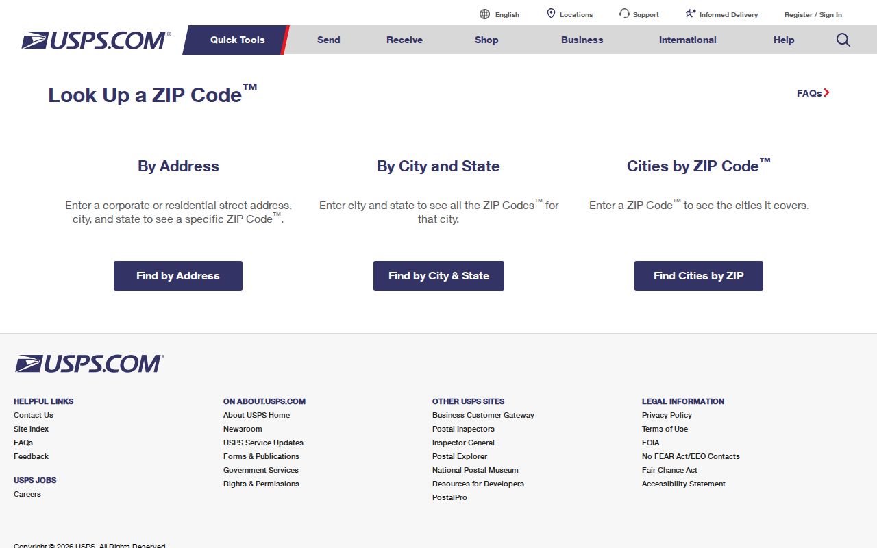
After USPS returns the mailing result, use the county map to find the physical parcel. The two results work together: one confirms delivery geography and the other shows whether the property is actually in Eastpointe.
Note: The research did not locate an official USPS polygon boundary or a complete list of out-of-city addresses using an Eastpointe label.
Check an Eastpointe ZIP Code in Order
A repeatable ZIP code check prevents a close-by parcel from being treated as Eastpointe without proof. It also gives historical searches a clean path when a source uses Halfway, East Detroit, or a neighboring postal label. Record the returned postal city and ZIP before moving into parcel and historical sources.
- Validate the complete delivery address in USPS ZIP Lookup and keep the returned city and ZIP together.
- Search Macomb County GIS by street number and name. Select the Eastpointe community when needed.
- If the first address search fails, omit the street suffix, then try the known-address search and turn on the address-points layer.
- Compare the GIS community and parcel boundary with the postal line. A nearby postal label does not settle municipal jurisdiction.
- For old material, search Halfway, East Detroit, and Eastpointe as appropriate to the date, then verify the match through a deed legal description or plat.
The GIS guide supports property-address, tax-ID, intersection, and known-address searches. Its known-address route draws on the E911 database and can reach apartment, condominium, and mobile-home units when the address-points layer is visible. For a full by-address record trail after the ZIP is settled, use the Eastpointe street directory.
ZIP-Capable Eastpointe Search Tools
Not every local system accepts ZIP code as a search filter. The Michigan Voter Information Center uses ZIP as part of a named person's registration check, while Macomb GIS uses an address and community. The Eastpointe BS&A interface advertises Address, Name, and Parcel Number searches, but its live Eastpointe field set could not be captured because the page returned a JavaScript or access response. Treat an undocumented ZIP filter as unverified.
| Tool | ZIP Field or Mode | What It Can Answer | Limit |
|---|---|---|---|
| Michigan Voter Information Center | Five-digit ZIP is required with first name, last name, birth month, and birth year | A specific person's registration and polling details | Not a ZIP or street roster. |
| Michigan QVF request | Jurisdiction, district, ward, precinct, county, or state selection, not a ZIP filter | A lawful public voter-file request | Written request; protected fields are excluded. |
| Eastpointe BS&A | ZIP control not captured | Property lead through address, name, or parcel number | Live advanced fields require confirmation. |
| Macomb GIS | Community plus address, no ZIP field described | Parcel and known-address location | Use USPS separately for delivery ZIP. |
| Michigan registry search | City, county, ZIP, address, and radius modes | Geographic search within that registry's limited scope | It is not a directory of all ZIP residents. |
The Michigan State Police registry screen records the available city, county, ZIP, address, and radius modes. Those modes are useful only for the registry's stated public records, not as a substitute for a complete ZIP code directory.
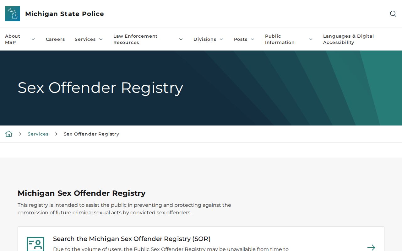
The image illustrates why a ZIP-based result needs a clear source label. A search mode tells you the filter a system accepts, not the full population or all addresses within that ZIP.
Eastpointe ZIP Code Boundaries and City Lines
ZIP boundaries are delivery geography, and Census place geometry is municipal geography. Eastpointe's Census place record reports 34,318 people in 2020 and about 5.16 square miles of land, but those city figures cannot be divided into ZIP totals. A ZIP can reach across an edge, and an adjacent post-office label can be geographically close while the parcel lies in another city.
Roseville sits to the north, Warren to the west and northwest, Detroit to the south, and St. Clair Shores to the east. That compact setting explains why 48066, 48080, 48089, and 48205 surface around a 48021 search. When the jurisdiction matters, check the GIS community field and parcel boundary rather than judging from the label on a map.
- ZIP code
- A postal routing code used to direct mail to an address or delivery area.
- ZIP+4
- An added four-digit delivery segment that narrows routing beyond the five-digit ZIP.
- PO-box ZIP
- A ZIP used for post-office-box delivery rather than a statement about the property's city boundary.
- Carrier route
- A mail-delivery grouping that is not the same as a municipality, neighborhood, or resident list.
Eastpointe ZIP Code History Names
Historical address work needs the city-name bridge as much as the ZIP code. The area was Erin Township before the Village of Halfway in 1924, became East Detroit in 1929, and took the Eastpointe name in 1992. A pre-1992 directory or newspaper can therefore be correct when it says East Detroit. Preserve that wording in a citation, then link it to a present parcel only after the street, lot, block, plat, or legal description supports the match.
Gratiot Avenue and Nine Mile Road are useful map anchors when an older source lacks a modern number. Macomb GIS also supports intersection searching, which can help establish the general location before a legal description or tax ID provides a stronger parcel connection. The city-name bridge is evidence about place names, not proof of an address-number conversion.
Limits of an Eastpointe ZIP Code Search
A ZIP code routes mail and narrows a place search. It does not create a public list of everyone who lives there. MVIC checks one person using a name, birth month, birth year, and ZIP, and it does not expose a block list. A QVF request follows a separate written process and excludes sensitive fields such as driver's-license or state-ID numbers, month and day of birth, phone, email, digitized signature, and the last four digits of a Social Security number.
Protected voters and participants in Michigan's Address Confidentiality Program may use restricted or substitute addresses. Those intentional limits should not be worked around. Use parcel, historical, voter, and postal records only for lawful personal research, civic questions, family history, or confirming a record with its custodian. Do not use address information to stalk, harass, or harm anyone.
Note: A property portal may identify a parcel owner, but a current owner or tax mailing field is not a complete statement of who occupies an address.