
Eastpointe Neighbors by Block
Public sources describe different parts of a block. Macomb GIS provides the geometry: parcel polygons, tax IDs, property addresses, and community information. The Eastpointe assessor route can provide a current property record. The Register of Deeds helps when title history matters. Election resources are much narrower, and local organization listings give community context rather than a list of every nearby household. Start by deciding whether the question is about parcel location, ownership, history, civic geography, or an organization.
| Source | What It Shows About a Block | Access |
|---|---|---|
| Macomb GIS and ArcGIS parcel layer | Touching and nearby polygons, TAX_IDs, addresses, community, legal description, and map context | Free map and public layer |
| Eastpointe BS&A and tax-record bridge | Current owner and property-card lead; a mailing field may appear on the current card | Municipal portal, office, or request route |
| Macomb Register of Deeds | Grantor, grantee, instrument, and legal-description trail for a selected parcel | Free basic index; paid images, office, or mail channels |
| Michigan election tools | One person's registration status or precinct context | MVIC person search or a separate QVF request |
| Library, chamber, and local-history sources | Organizations, address history, directories, and historical context | Organization pages, library request, or in-person research |
An owner name is not automatically the name of a person currently at the address. A tax mailing address can differ from the property situs, and a parcel may be a business, school, church, park, or vacant tract. The block table is a starting inventory of records, not a statement that every polygon contains an Eastpointe household.
Map Eastpointe Neighbors Parcel by Parcel
Use Macomb County GIS to identify the subject parcel before reading the surrounding block. A next street number is not always the adjacent parcel. Corner lots, alleys, condominium units, and irregular parcels can make the map relationship different from the numbering pattern. The tax ID and legal description give each selected parcel a stable identifier when names or street labels are alike.
- Find the subject address in the GIS property-address search, or use the known-address search when the address is an apartment, condominium, or mobile-home unit.
- Keep the parcel layer visible, note the subject TAX_ID and legal description, then identify the north, south, east, and west polygons.
- Mark which parcels touch the subject parcel and which are separated by a street or alley. Record the retrieval date with the list.
- Open each selected parcel's current tax or BS&A record separately. Use the Register of Deeds legal description only if the title trail is needed.
- Use the Eastpointe street directory when the task expands from the immediate block to a complete street-by-street chain.
The public ArcGIS layer documents fields including TAX_ID, address, community, owner name, legal description, zoning, value fields, and a BS&A link. Its maximum record setting is 2,000, but a broad map result should still be narrowed to the subject block and checked against the custodian's current record. It is a map and data service, not a license to publish sensitive information or to turn its owner field into a current-resident claim.
Eastpointe Neighbor Map Search Tips
Macomb GIS has a practical fallback when a standard address search does not return a result. Omit the street suffix, try the Search All Known Addresses route, choose the community, and make sure the address-points layer is turned on. The E911 known-address data can reach apartment, condominium, and mobile-home units that might not appear in a simple parcel-address result.
The portal also accepts full or partial tax-ID formats and supports intersection searches. Gratiot Avenue and Nine Mile Road can help orient a historic or incomplete address because both are prominent local map anchors. An intersection result is only a location lead. Confirm the actual parcel before associating it with an Eastpointe neighbor record.
Note: Current GIS coverage and E911 address data are described, but the research did not identify a historical cutoff for the map service.
Eastpointe Neighbors Are Not Always Occupants
A parcel owner, a homestead indicator, a tax mailing line, a voter match, and an old directory entry each answer a different question. A same-address tax mailing field may be consistent with owner occupancy. A different mailing line may indicate an absentee owner. Neither fact proves who is physically present at the address now. Likewise, an absent homestead indicator is not proof that an address is empty.
Use a current property record for ownership, a deed chain for a transfer history, and a dated directory for a historical snapshot. Label the date and source instead of merging them into a claim about today's Eastpointe neighbors. That distinction is especially important on blocks containing mixed property uses.
Eastpointe Neighbor Parcels Can Be Businesses
A block can include commercial parcels, a school, a church, a park, or vacant land. Zoning and the property-use context help explain the parcel without converting it into a person record. When a selected parcel is connected to an entity, the state registry can be a narrow confirmation path for an entity name, filing status, certificate, or copy. A registered or business address is not proof of a person's home address.
The Michigan MiBusiness Registry launched on June 23, 2025 and supports online filings, searches, certificates, and copies for several entity and mark types. The captured entry screen is a reminder to keep entity information in the business-record lane.
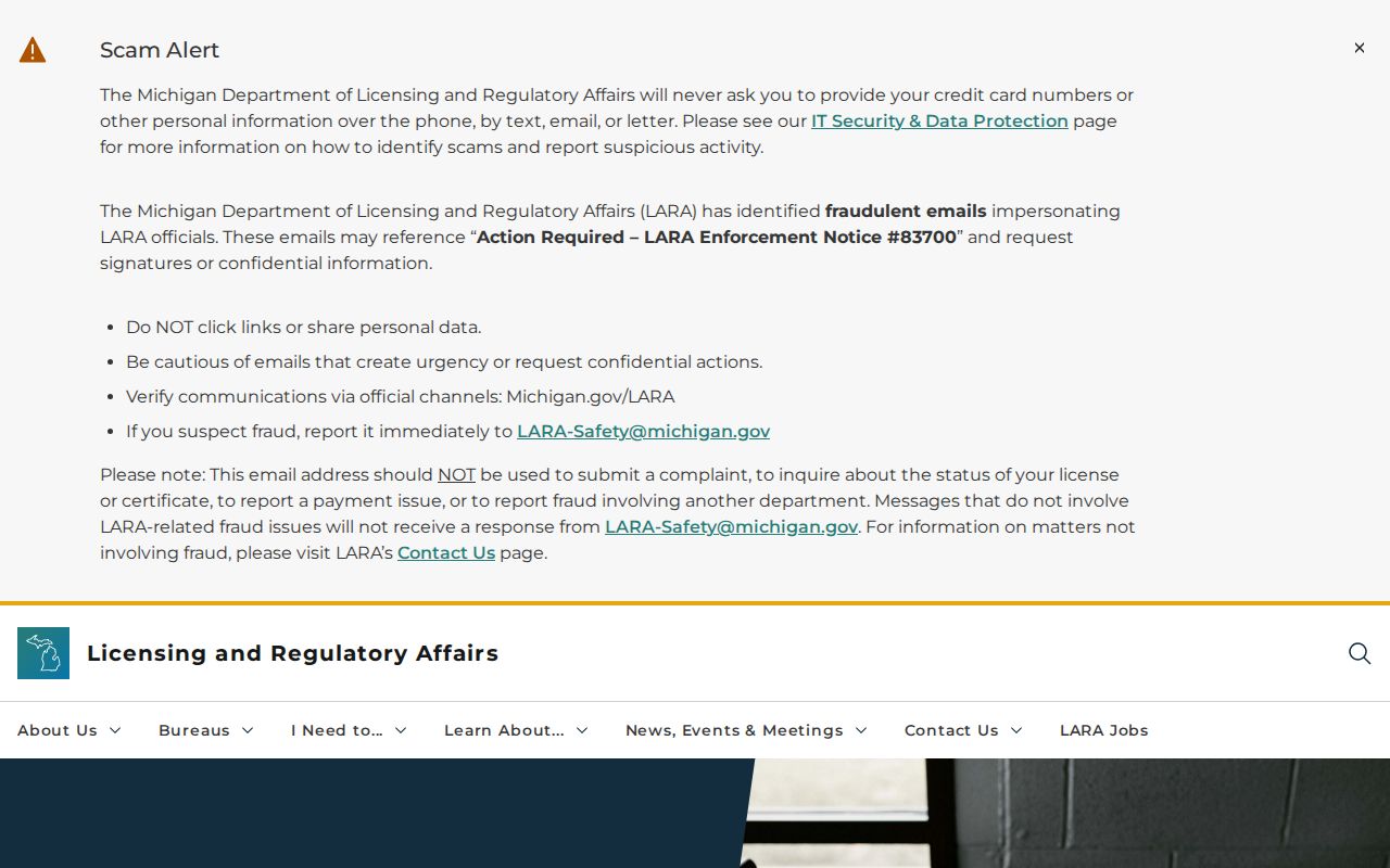
Use an exact entity name and its variants when the official filing route is relevant. The public overview did not document the live result fields or historical image coverage, so confirm those details in the portal before relying on a result.
Eastpointe Neighbors and Community Resources
The Eastpointe/Roseville community chamber is a local organization and member-directory lead, not a city agency and not a complete neighborhood roster. It can provide a useful layer of community context after a parcel map identifies what is near an address. The research found its listed Eastpointe address and telephone, but did not find a city-published neighborhood-association roster or block directory.
Eastside Community Chamber
Role: Eastpointe/Roseville business and community organization resource.
Listed location: 24840 Gratiot Avenue, Eastpointe
Telephone: 586-776-5520
Use: Organization and member context, not a record of every nearby household.
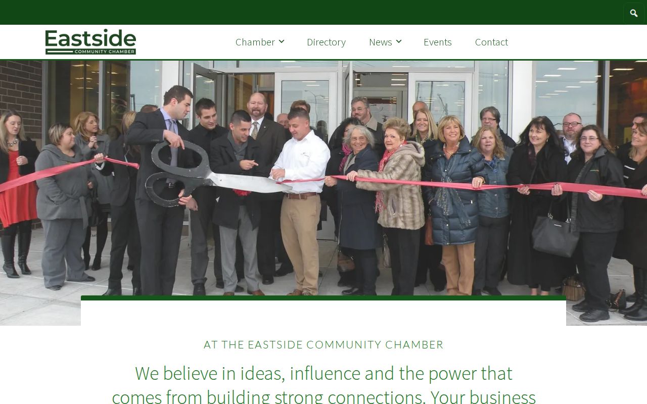
The Eastside Community Chamber home and member-directory entry point is shown in the captured source. It is appropriate for checking an organization's own public information, not for inferring a neighborhood boundary or household membership.
Eastpointe Memorial Library's clipping files, East Detroit School files, and local books can also add historical context. Ask the library for a narrow subject, date, or address search instead of expecting a citywide list.
What Eastpointe Has Not Published
No city-published Eastpointe neighborhood-association roster or block directory was located. Do not invent association names, boundaries, or household membership from a map. A chamber listing, a congregation contact, a school page, or a cemetery custodian may identify an organization, but it cannot fill the gap as an official resident roll.
For historic block research, Eastpointe Memorial Library, Mount Clemens Public Library genealogy resources, directories, plats, newspapers, and county guidebooks can each contribute dated clues. A negative search is not conclusive because the library notes that not all Macomb newspapers are indexed. Keep the source and year attached to every historical address observation.
Michigan Limits on Neighbor Voter Searches
Michigan Voter Information Center is intentionally person-specific. It uses first name, last name, birth month, birth year, and ZIP to return a person's registration status, polling place, ballot information, and clerk contact. It does not provide a casual block list. A QVF request is a separate written process that can select a city or township, ward or precinct, school precinct, village, district, county, or statewide dataset.
| Official route | What it is for | Privacy and access limit |
|---|---|---|
| MVIC | A named person's registration and polling context | Requires person-specific fields; no block roster. |
| QVF request | Lawful public voter-file request by governmental geography | Written request; protected fields are removed and current cost should be confirmed. |
| Commercial neighbor-search category | A non-custodial compilation of information from mixed sources | May be stale, merged, incomplete, or unclear about the source date; verify with the custodian. |
Michigan law protects driver's-license and state-ID numbers, month and day of birth, phone, email, digitized signature, and the last four digits of a Social Security number from the public voter record. ACP and other protected voters may not display a normal residence address. Do not try to use another source to reconstruct information that an official service intentionally withholds.
Eastpointe Neighbor Privacy and Lawful Use
Michigan's Address Confidentiality Program can provide a substitute address and mail forwarding for eligible survivors of domestic violence, sexual assault, stalking, human trafficking, and other eligible at-risk applicants. Voter and driver records have separate statutory protections, and court, juvenile, adoption, sealed, or expunged records may be unavailable or redacted. An incomplete record can be a privacy feature, not a search failure.
When a government record appears wrong, return to the custodian with the identifying record detail: a parcel or TAX_ID for the assessor, a case number for the clerk, or a voter-address issue for the appropriate clerk or Secretary of State channel. A secondary compilation is not the authority for correcting a public record.